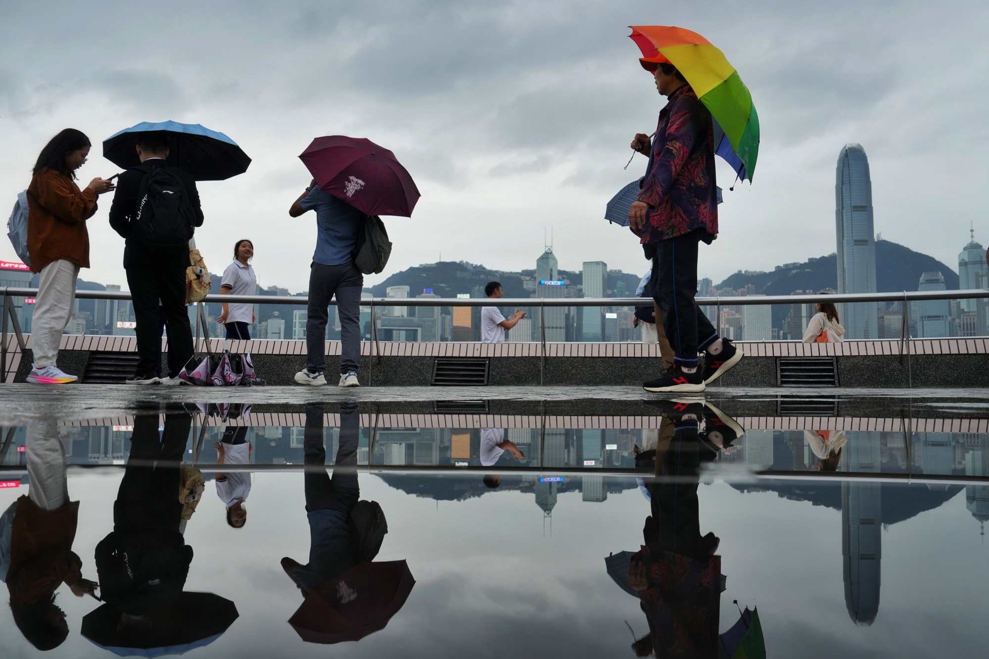
Typhoon Usagi has entered within 800km (497 miles) of Hong Kong but is unlikely to pose a direct threat, the weather forecaster has said.
The Hong Kong Observatory said on Friday Usagi was expected to maintain a distance of more than 500km from the city, noting the “likelihood of direct threat to the city is not high”.
The typhoon would then turn northeast towards Japan’s Ryukyu Islands and weaken gradually, it added.
Do you have questions about the biggest topics and trends from around the world? Get the answers with SCMP Knowledge, our new platform of curated content with explainers, FAQs, analyses and infographics brought to you by our award-winning team.
At 8am, Usagi was centred about 280km south of Gaoxiong. It is forecast to move towards southern Taiwan at about 14km/h (9mph) across the vicinity of Luzon Strait.

Meanwhile, Typhoon Man-yi was about 1,280km east-southeast of Manila.
It will move towards the seas east of the Philippines and intensify gradually at about 28km/h, according to the Observatory.
The forecaster said it would be windy in the following days and predicted sunny intervals over the weekend. The temperature will drop to about 20 degrees Celsius (68 Fahrenheit) around Wednesday.
Usagi is named after the Japanese word for the Lepus constellation, while Man-yi refers to Hong Kong’s High Island Reservoir in Sai Kung.
The two storms are approaching after the passing of Tropical Storm Toraji in Hong Kong, with the Observatory cancelling the No 1 warning signal at 1.20am on Friday.
Experts said the late arrival of tropical cyclones this year could be a result of global warming, which keeps the sea surface temperature in the Pacific Ocean and South China Sea warm despite it being November.
More from South China Morning Post:
- Why is Hong Kong getting typhoons in November and are more coming late in year?
- Storm Toraji: Hong Kong braces for another typhoon next week, after 11-hour T8 warning
For the latest news from the South China Morning Post download our mobile app. Copyright 2024.


